.
GEORGIA WATERFALLS
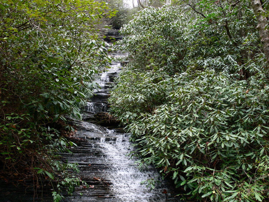
ANGEL FALLS (3)
Driving Directions: From Tallulah Gorge State Park, drive north on US 441/23/15 for 1 mile to Lake Rabun Recreation Area and Historic Old 441 on the left. Turn left and make an immediate right onto Old US 441 South. Drive 2.6 miles and turn left onto Lake Rabun Road. Drive 4.5 miles and turn right into the Lake Rabun Recreation Area Camping Area #2.
Hiking Directions: Follow the green blazed Angel Falls Trail No. 55 a short distance and cross Joe Branch on a footbridge. The waterfall on Joe Branch will be on your right. Follow the creek upstream on the left side and in a short distance the woods open. Continue straight ahead and pass a campsite on the right. Continue working your way upstream on the left side of the creek following the trail as best as you can. In 0.2 mile cross a tributary on a footbridge, which will probably be dry in the summer. In 0.04 more mile (0.24 mile from the trailhead) cross another footbridge over a tributary. Continue another 0.02 mile (0.26 mile from the trailhead) and rock hop a small stream. At 0.34 mile and 0.36 mile from the trailhead cross two more footbridges. In 0.38 mile, reach Panther Creek Falls. Turn left to remain on the trail and begin ascending. At the top, the woods open. Continue to follow the trail upstream as best as possible. In 0.15 mile cross a rock bridge over a stream. Continue 0.02 mile (0.17 mile from Panther Creek Falls) cross a wooden footbridge over the creek. In 0.26 mile from Panther Creek Falls, reach Angel Falls. You can make a short loop by walking through the observation deck and turning left onto the trail. Follow the trail to a creek crossing and cross to the original trail that you came in on.
Hiking Directions: Follow the green blazed Angel Falls Trail No. 55 a short distance and cross Joe Branch on a footbridge. The waterfall on Joe Branch will be on your right. Follow the creek upstream on the left side and in a short distance the woods open. Continue straight ahead and pass a campsite on the right. Continue working your way upstream on the left side of the creek following the trail as best as you can. In 0.2 mile cross a tributary on a footbridge, which will probably be dry in the summer. In 0.04 more mile (0.24 mile from the trailhead) cross another footbridge over a tributary. Continue another 0.02 mile (0.26 mile from the trailhead) and rock hop a small stream. At 0.34 mile and 0.36 mile from the trailhead cross two more footbridges. In 0.38 mile, reach Panther Creek Falls. Turn left to remain on the trail and begin ascending. At the top, the woods open. Continue to follow the trail upstream as best as possible. In 0.15 mile cross a rock bridge over a stream. Continue 0.02 mile (0.17 mile from Panther Creek Falls) cross a wooden footbridge over the creek. In 0.26 mile from Panther Creek Falls, reach Angel Falls. You can make a short loop by walking through the observation deck and turning left onto the trail. Follow the trail to a creek crossing and cross to the original trail that you came in on.