.
NORTH CAROLINA WATERFALLS
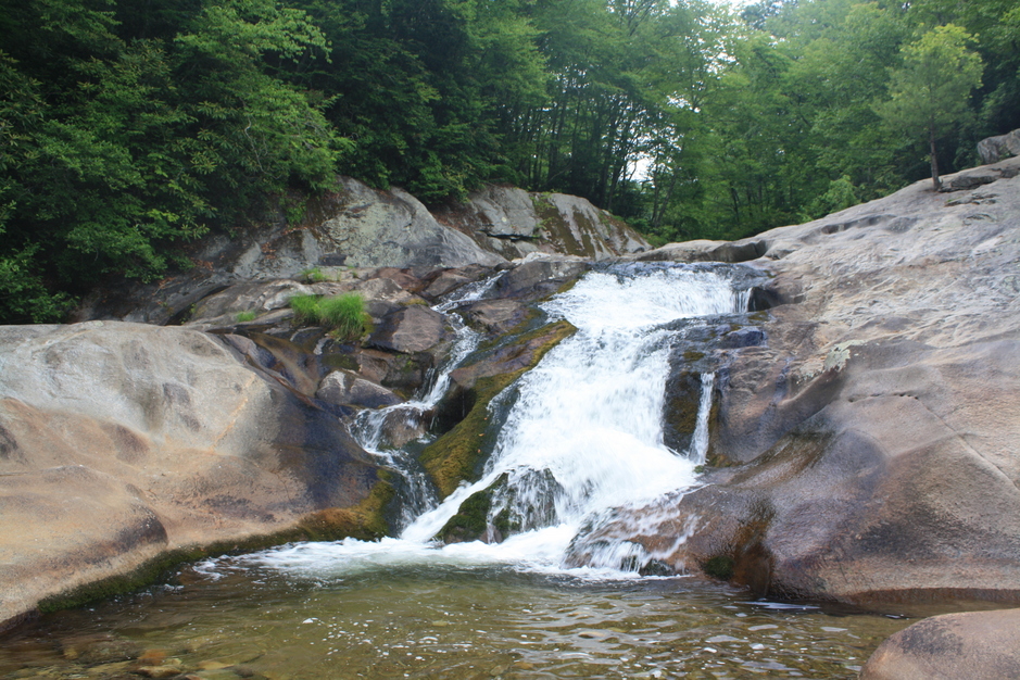
UPPER WATERFALL ON GRAGG PRONG
(3)
(3)
PHOTO BY CHRISTIE W.
Driving Directions: N.C. 181 crosses the Blue Ridge Parkway at milepost 312. From N.C. 181 exit to the Blue Ridge Parkway and turn left onto the parkway. At milepost 311 turn right onto the gravel Jonas Ridge Road (S.R. 1518). Follow the road, which begins as gravel, is paved for a short distance passing a Christmas tree farm, and returning to gravel again, for 1.7 miles to a T junction with a church on the left. Turn left onto F.R. 464 (Edgemont Road). After 2.5 miles come to F.R. 58 on the right. Don’t turn right. Continue 6.7 miles to N.C. 90. Turn left and drive 0.2 mile to F.R. 981 on the left. Drive 4.1 miles on F.R. 981 to a bridge over Gragg Prong. There is a parking area before the bridge.
Hiking Directions: Follow the dirt road downstream for about 85 yards to a small stream and the beginning of Lost Cove Trail (#262). Cross the stream and continue down Lost Cove trail for 0.42 mile to another creek crossing. Cross the creek and continue 0.75 mile to a small stream. Cross this stream and continue on the trail, crossing two more streams to an overlook of the creek at 0.90 mile. At 1.01 mile cross Gragg Prong and continue 0.1 mile to another crossing of Gragg Prong. After about 100 yards from the last crossing, the trail comes out on the rock by the waterfall.