.
NORTH CAROLINA WATERFALLS
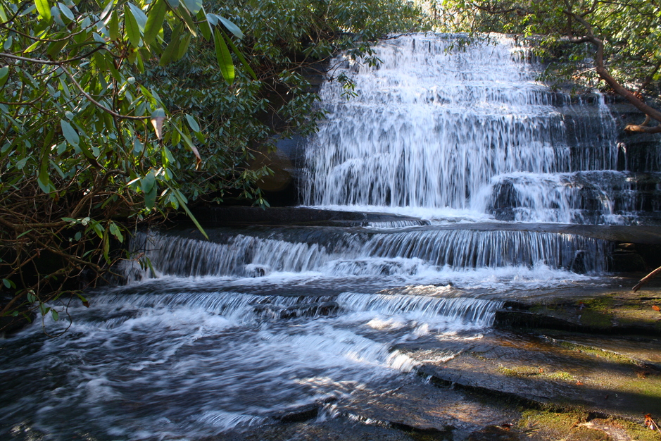
WATERFALL ON GROGAN CREEK (3)
PHOTO BY CHRISTIE W.
Driving Directions: From the junction of U.S. 276, U.S. 64, and N.C. 280, drive 5.2 miles to F.R. 475 on the left. Turn left onto F.R. 475 and continue 1.3 miles to the Pisgah Center for Wildlife Education on the left. Park here.
Hiking Directions: Walk in front on the main building to the beginning of Horse Cove Road (F.R. 475 C). Continue on Horse Cove Road crossing Cedar Rock Creek on a bridge and turn right onto the orange blazed Cat Gap Loop Trail. In 0.21 mile cross a small stream and a footbridge in 0.28 mile. Continue on the Cat Gap Loop Trail to where Cat Gap Loop Trail heads right and begins to ascend. Reach a T-junction in 0.62 mile and turn right. In 0.73 mile, you may notice a trail on the left that leads to a small cascade on Grogan Creek. At 0.76 mile from the trailhead, reach the intersection for the blue blazed Butter Gap Trail which turns right. Follow the Butter Gap Trail for 0.26 mile to a wet area with a footlog crossing. In 1.03 miles, cross a small stream. In 1.10 mile, cross another footlog and come to what appears to be a fork in the trail in 0.4 mile. Stay left and continue 0.2 mile to the junction of the Butter Gap Trail and the orange blazed Long Branch Trail. Stay left on the Butter Gap Trail, crossing what appears to be an underground stream in 0.1 mile. At 1.35 miles from the trailhead, hear a small waterfall on Grogan Creek to the left. Seeing this waterfall from the base would require a wicked descend and bushwhack. At 1.39 miles, reach a side path of the left that leads a short distance to the base of the falls.
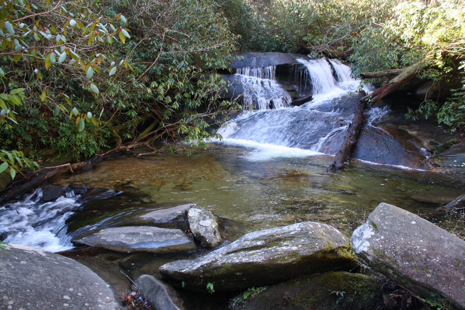
Cascade on Grogan Creek